About Us
In general point of view, the studies of the group encompass the following research areas:
- The determination and validation of the Earth gravity field models and Geoid at global and regional scales
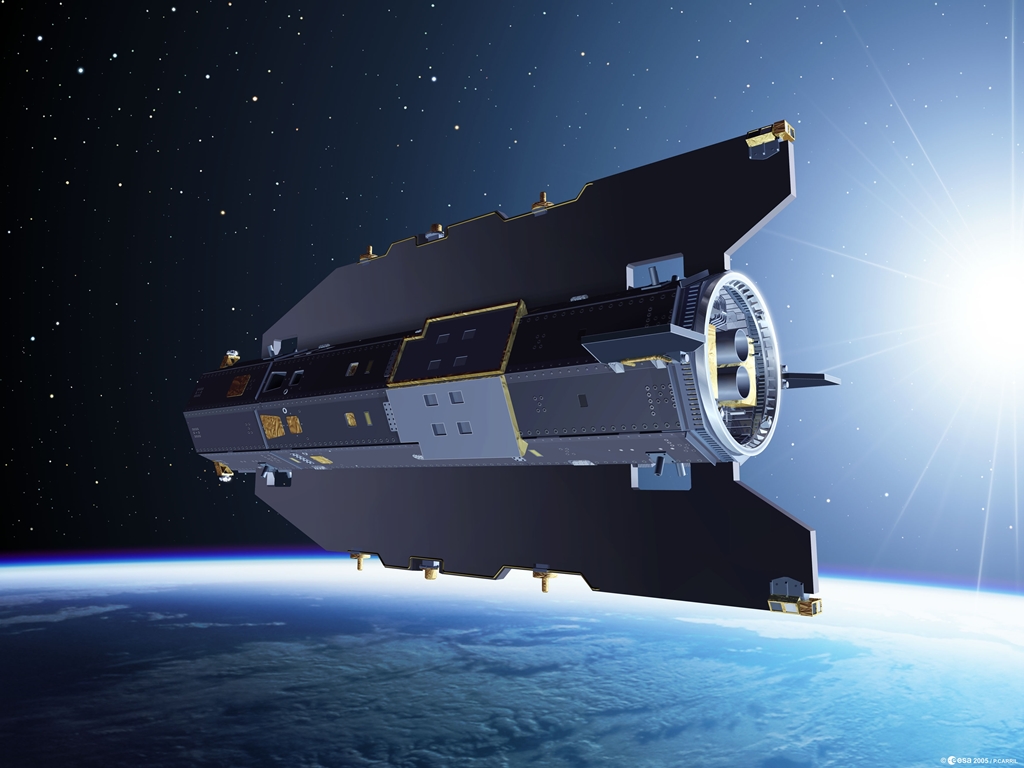
- Current and up-coming Earth gravity field satellite missions and improvements
- Methodologic research on regional geoid modeling techniques with heterogeneous data, validation approaches (using GPS/leveling data, astrogeodetic deflections of vertical, tide-gauge observations etc.)
- Vertical datum definition and height system unification with GPS/leveling, tide-gauge, altimetry and Earth geopotential models
- Investigating sea-level variations using tide-gauge, satellite gravimetry, satellite altimetry and oceanographic data and it’s environmental effects
- Determination of mean sea level, sea surface topography models and marine geoid
- Evaluation of digital terrain model data in geoid modeling
- Investigating and determining temporal gravity field on land and at sea
- Hydrogeodesy: land hydrology studies using miscellaneous satellite data and land surface models
- Monitoring and analyzing the crustal deformations with satellite observations and terrestrial data
- Data fusion in space and frequency domain with conventional and up-to-date computation methods
- Spatial data interpolation methods and geostatistical evaluations

